—Project Support

How GEOACQ supports
active project work.

This page describes GEOACQ's project-support capabilities, not completed client engagements. GEOACQ helps project teams with field visibility, coordination, structured evidence and records that support decisions. We keep information controlled, traceable and usable without presenting GEOACQ as the constructor or regulated designer.

The examples below are illustrative of the type of work GEOACQ supports, not verified case studies of completed engagements.

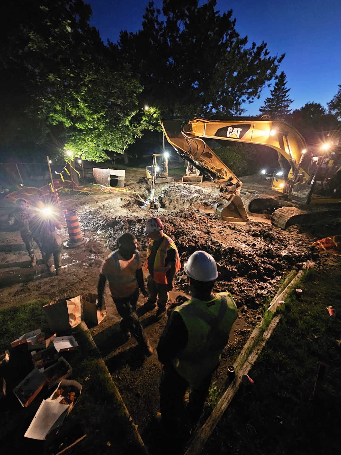
Night infrastructure work continuing under temporary work lighting
Projects / extended operations
01How GEOACQ Supports Delivery
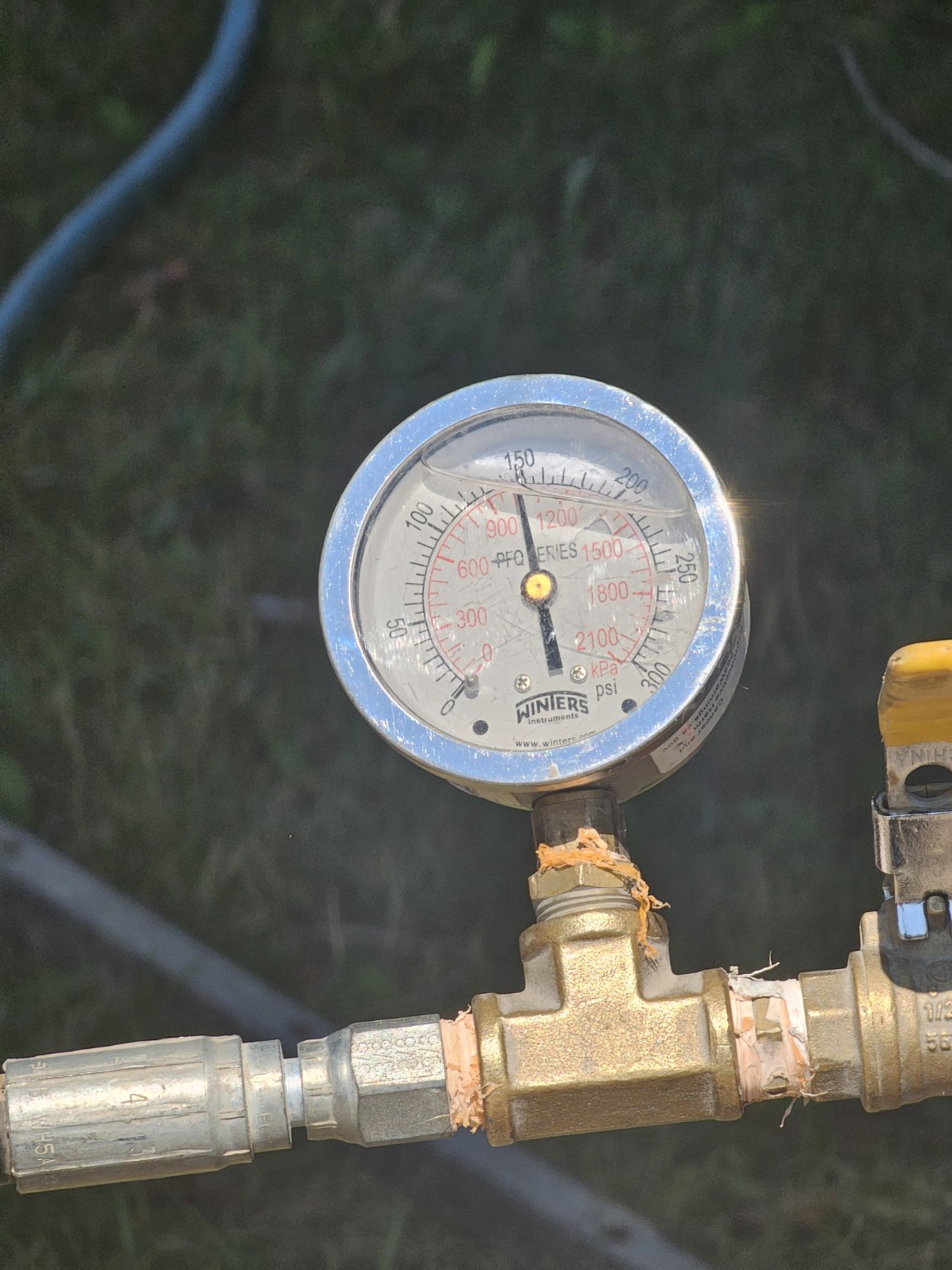
Field pressure gauge used to verify an active system condition
Site verification
Confirm actual conditions

Field Verification & Site Reality

GEOACQ captures the conditions that delivery teams need to make decisions: measurements, observed constraints, utility conditions and field evidence. The value is not the photograph itself; it is the structured context around what was observed, when, where and why it matters.

Field evidence that supports decisions.

Site coordination
Keep work moving

Coordination in Active Work Zones

Live work areas create interfaces between crews, access, sequencing, stakeholders and changing conditions. GEOACQ keeps those interfaces visible so the GC can coordinate around the work without creating another layer of field command.

Fewer coordination blind spots.

Utility records
Know what is below

Utility & Service Interface Intelligence

Connections and buried work can become expensive unknowns once they disappear. GEOACQ organizes visual evidence and associated records so service interfaces, locations and installation context remain traceable through change, claims, future work and closeout.

Traceability beyond the workface.

Shift continuity
Carry decisions forward

Continuity Across Extended Operations

Delivery does not always fit inside a normal workday. GEOACQ supports continuity across changing shifts, constraints and operating windows by preserving the information thread between what happened, what changed, what is outstanding and what the next decision requires.

One accountable information thread.

02Operational Intelligence Lens

The work changes. The information discipline should not.

Across projects, GEOACQ applies the same operating principle: capture what is happening, connect it to the correct location and work context, surface emerging constraints, route the issue to the person responsible for the decision and preserve the evidence so the next person does not have to rediscover the site.

01

Field observations connected to location and work context

02

Photo evidence organized for retrieval, not stored as loose media

03

Issue and change visibility with clear ownership and escalation

04

Records that remain useful for claims, closeout and future asset work

03Project Support

Reduce blind spots without adding another constructor to the site.

GEOACQ can provide fractional project delivery capacity, field intelligence, controls and coordination around the GC's execution model.

Discuss a project